
FROM OUR BLOG
Case Study: Hurricane Milton — A New Era in Disaster Data Collection
Aug 11, 2025
The Problem
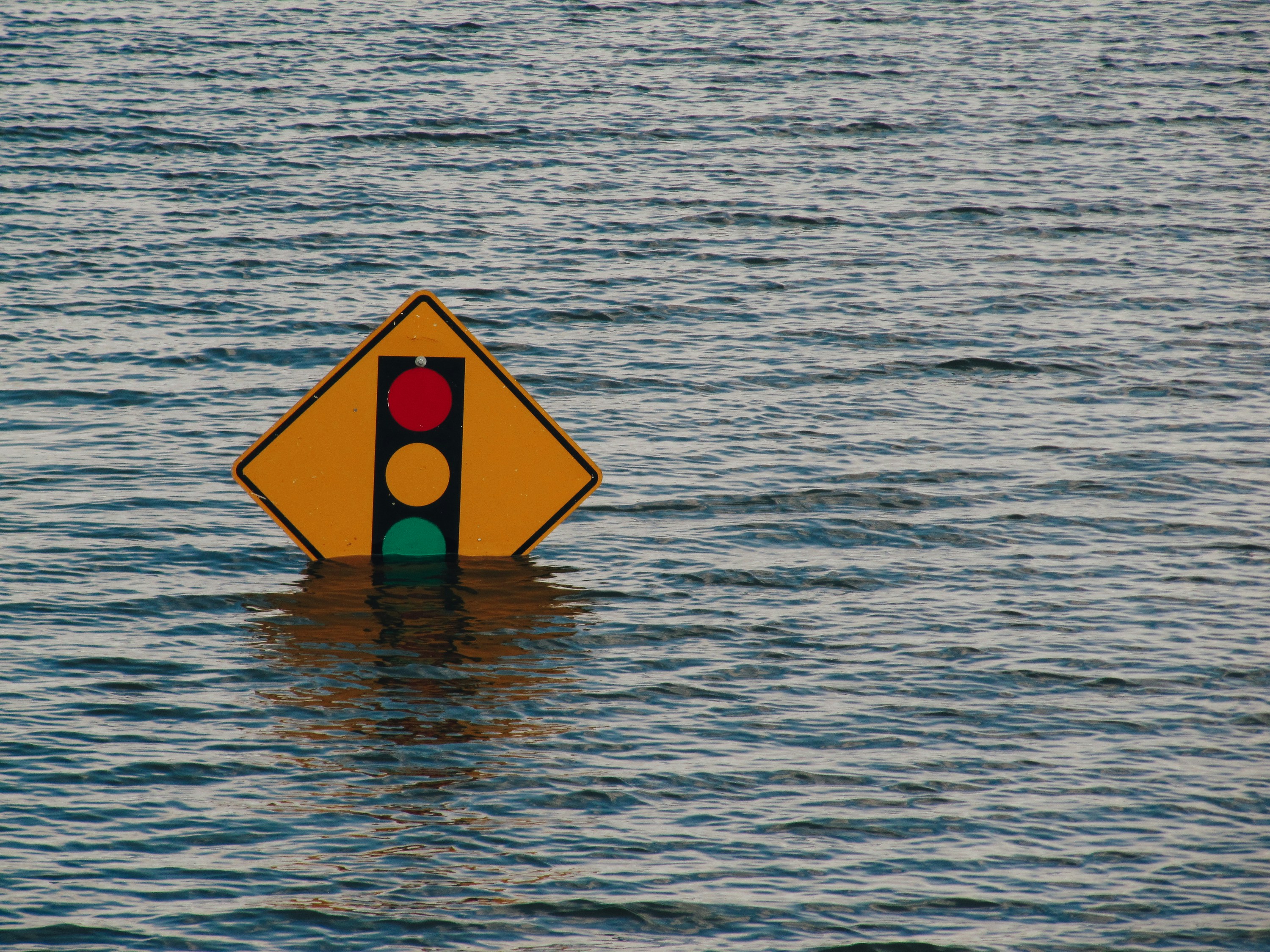
When Hurricane Milton made landfall in October 2024 as a Category 5 storm, it destroyed homes, flooded infrastructure, and disrupted daily life for millions in the Tampa Bay area. Ultimately, the storm caused $30–$50 billion in insured losses, making it one of the most expensive natural disasters in American history.
For emergency responders, insurers, and government agencies, the scale and complexity of the damage presented a critical challenge: how to gain fast, accurate visibility across a region crippled by downed infrastructure, closed roads, and power outages. Satellite imagery couldn’t offer a full picture of the damage, and traditional boots-on-the-ground assessments were too slow and resource-intensive to cover the full area in time.
The gap was evident: a lack of real-time, hyperlocal, on-the-ground visual data slowed recovery and impaired critical decisions.
That’s where Aris came in.
The Ask
At the invitation of disaster response organizations, Aris presented a ground-centric perspective, complementing other data sources and helping fill information gaps to enable decision-makers to make more informed choices about resource allocation.
Our Approach
Using our mobile app, Aris geo-targeted contributors across Hillsborough and Sarasota counties. We screened for users in the hardest-hit areas, with additional targeting for those with drones and boats to collect across a wider geographic area, and tasked them to collect high-resolution photos and videos. We focused on key damage types: structural collapse, flooding, infrastructure failure, and environmental impact.
Modality: Aris Mobile App for tasking, photo and video collection
Timing: End-to-end execution in 5 days
Output: Multimodal dataset including images and video of damage to homes, roads, bridges, businesses, and coastline erosion
Impact
By filling the data gap, Aris empowered decision-makers to:
Allocate resources faster
Direct teams to the most impacted neighborhoods
Validate insurance and infrastructure claims at speed and scale
Avoid redundant field surveys
And because the data was permissioned, geolocated, and human-verified, it provided an unbeatable level of precision and trust.
Why This Matters: Beyond First Responders
While Aris helped first responders in the immediate aftermath of the storm, this fast, scalable method extends well beyond emergency services:
Insurance carriers can use our data to validate claims, reduce fraud, and improve the speed of inspections
Risk modelers can gain granular, visual confirmation to update hazard maps
Public utilities can use location-tagged media to plan power restoration and route clearing
Media and advocacy groups can use contributor-generated content to spotlight affected communities
Policy leaders can gain compelling visual evidence to support federal and state aid packages
Lessons Learned: What It Takes to Be Ready
The Hurricane Milton case demonstrates a critical need for information agility. As storms, fires, heat waves, and floods grow more frequent and severe, communities – even those that haven’t historically been subject to weather events – must be ready with a proactive, technology-driven approach to disaster response.
This project demonstrated Aris’ ability to activate its contributor network in times of crisis, but it also highlighted a few missing pieces of the information agility puzzle. Having crowdsourced, on-the-ground data allows stakeholders to know how to respond to community needs more effectively. But the mechanisms to ensure that data can be collected need to be in place before disaster strikes. These include:
Reliable connectivity (such as Starlink or mobile mesh networks)
Verified, trusted communication channels from local governments
User training and drills for rapid contributor activation
Pre-established protocols for data use and interagency collaboration
Proactive deployment is key. These systems must be built, tested, and trusted before crises occur, not implemented in a haste after a disaster. Governments recognize the gaps in existing systems, but they often require the right partners and tools to make it work. Aris is one of those tools, but we know we’re part of a broader ecosystem of disaster communication and response.
The future of disaster response is real-time, human-powered, and tech-enabled. We’re ready to help it launch.
Stay connected to us.
Stay in the loop with the latest in AI, data, and Aris.


